 Sumela Monastery
Where Is Sumela Monastery? Map, Location & Directions
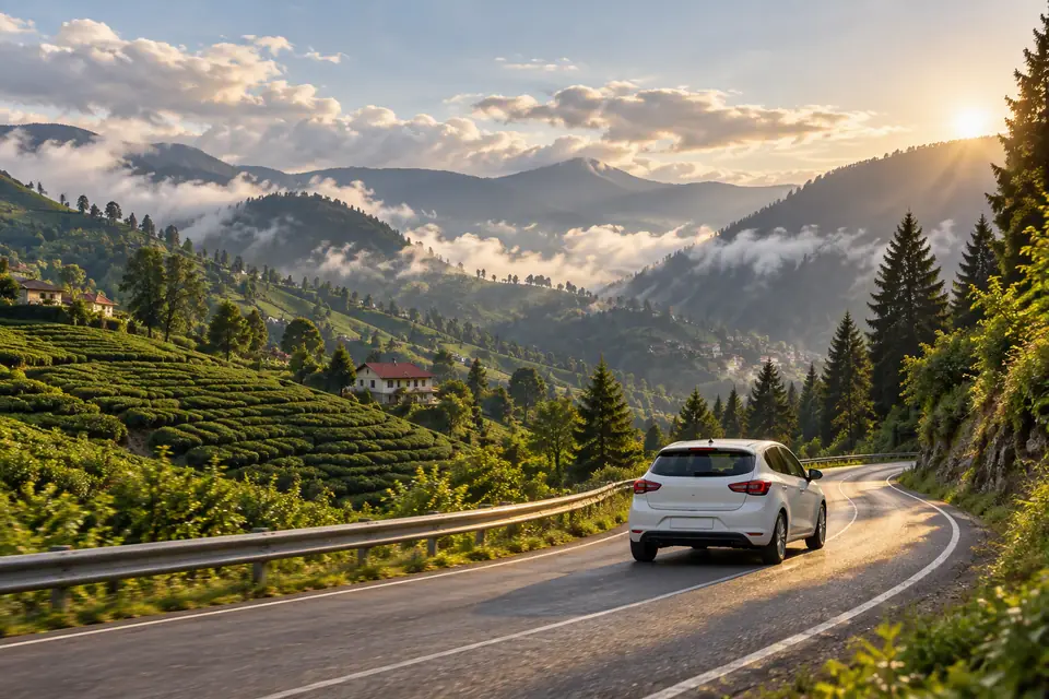
Sumela Monastery on the map
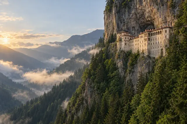
Sumela Monastery (Sümela Manastırı) is on Turkey's Black Sea coast region, inland from the city of Trabzon. It is built into a sheer rock face above the Altındere stream, inside Altındere Valley National Park.
- Country: Turkey
- Province: Trabzon
- District: Maçka
- National park: Altındere Valley National Park
- Mountain: Karadağ (Mount Mela)
- Altitude: about 1,200 m (≈3,900 ft)
- Coordinates: 40.690° N, 39.658° E
How far is Sumela Monastery from…
| From | Distance | By car |
|---|---|---|
| Trabzon city centre | about 45–50 km | about 1 hour |
| Trabzon Airport (TZX) | about 50–55 km | about 1 hour 15 min |
| Maçka town | about 17 km | about 25 min |
| Uzungöl | – | about 2 hours |
Coming from abroad? Most travellers fly to Istanbul and take a domestic flight of about 2 hours to Trabzon Airport (TZX).
Directions in short
- From Trabzon, take the D885 road south towards Maçka and Gümüşhane.
- In Maçka, follow the brown signs for Sümela into Altındere Valley.
- Drive along the valley to the national park entrance and the car park.
- From the car park, take the shuttle or walk up the forest path to the monastery (20–30 min).
All options – tour, dolmuş, taxi and rental car – are explained step by step in our guide to getting from Trabzon to Sumela Monastery.
Driving yourself? Pick up a rental car at Trabzon Airport:
No car? A tour with hotel pickup in Trabzon is the easiest way:
FAQ
Where is Sumela Monastery located?
In Altındere Valley National Park in the Maçka district of Trabzon Province, north-east Turkey, on the cliffs of Mount Karadağ at about 1,200 m.
How far is Sumela Monastery from Trabzon?
About 45–50 km south of Trabzon city centre, around 1 hour by car.
What are the coordinates of Sumela Monastery?
About 40.690° N, 39.658° E.
Which airport is closest to Sumela Monastery?
Trabzon Airport (TZX), about 1 hour 15 minutes away by car.
Keep reading
Best Sumela Monastery Tours: Which One Should You Actually Book?
Half-day, full-day, private or all-inclusive? We break down every type of Sumela Monastery tour from Trabzon so you pick the right one fast.
How to Get to Sumela Monastery from Trabzon
Tour, dolmuş, taxi or rental car – every way to get from Trabzon (and Trabzon Airport) to Sumela Monastery, with travel times and tips.
Sumela Monastery Tickets, Entrance Fee & Hours (2026)
How much is the Sumela Monastery entrance fee, is the Museum Pass valid, and what are the summer and winter opening hours? All the 2026 info.